- Reliability: Offline maps function via GPS satellites, meaning you do not need mobile data or Wi-Fi to navigate once the map is downloaded.
- Preparation: Download maps for your entire destination area while connected to home Wi-Fi to avoid roaming charges and connectivity gaps.
- Accessibility: Modern map apps allow you to adjust text size, contrast, and avoid stairs or steep inclines, directly supporting your physical comfort.
Travel offers the unique joy of discovery, but navigating unfamiliar environments can sometimes feel overwhelming. For the independent traveler, the key to confidence is not just good planning, but having a reliable “safety net” in your pocket. Digital offline maps have revolutionized the way older adults explore the world by providing precise, real-time guidance that works even in the most remote areas or deep within city centers where signals often fail.
Understanding How Offline Maps Empower Your Journey
At its core, a digital map uses a combination of GPS (Global Positioning System) technology and pre-loaded data. Unlike traditional paper maps, which are static and can be cumbersome to fold or read in poor lighting, offline maps are interactive, zoomable, and aware of your exact location.
Why offline capability matters: When you travel internationally, you may face expensive data roaming fees or unpredictable Wi-Fi. By downloading map data to your smartphone or tablet before you leave your accommodation, you effectively “save” the geography of the city to your device. Once saved, your phone uses the satellite-based GPS receiver—which is free to use and does not require a cellular connection—to track your movement across that downloaded area.
In real life, this means if you are walking through a labyrinthine historic district in Rome or a sprawling park in Tokyo, you can see exactly where you are and how to return to your hotel without needing a single byte of mobile data. This independence removes the anxiety of “getting lost,” allowing you to focus on the sights rather than the logistics of finding your way.
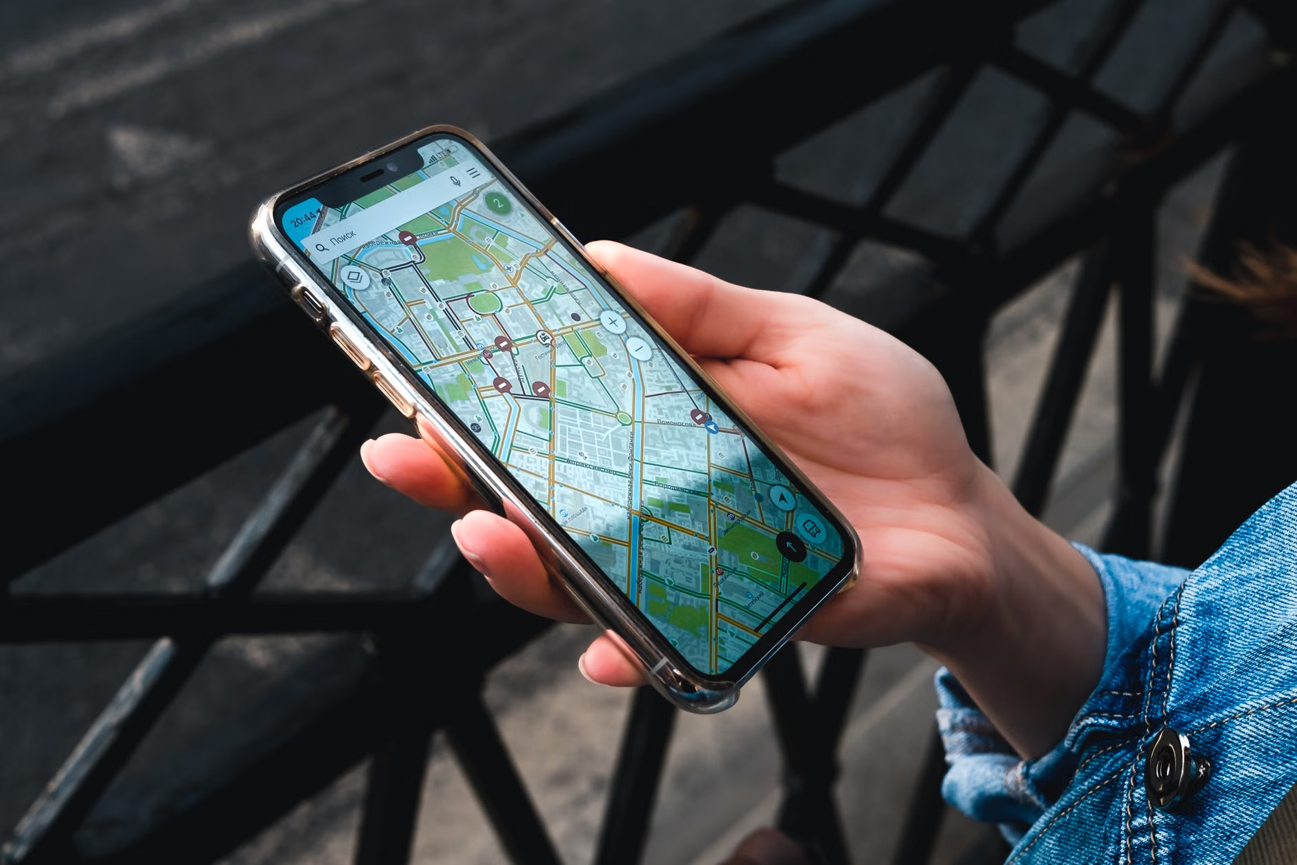
Preparation is the foundation of a stress-free trip. Follow this workflow to ensure your device is ready before you step out the door.
1. Choosing the Right Application
While there are many navigation apps, Google Maps and Maps.me are the industry standards for offline use. Google Maps is highly intuitive and provides excellent public transport information, while Maps.me is often praised for its detailed walking trails and light footprint on your device’s storage.
2. Downloading Your Maps
Do this while you have a stable, high-speed Wi-Fi connection at your home or hotel. In your chosen app, search for your destination city. Look for the “Download” or “Offline Maps” option. The app will usually show a rectangle covering the area you are about to save. Ensure this rectangle encompasses the entire city or region you plan to visit, including your hotel and potential emergency points like hospitals or train stations.
3. Managing Storage and Battery Life
Maps take up storage space. If you are visiting multiple cities, download them one by one. Furthermore, GPS tracking is a battery-intensive process. Always carry a portable power bank—a lightweight, high-capacity battery—to ensure your phone remains powered throughout the day. A 10,000mAh power bank is typically sufficient to charge a smartphone twice, which is more than enough for a full day of exploration.

Optimizing for Mobility and Safety
Navigation is not just about the shortest route; it is about the right route for your specific mobility needs. Many seniors find that standard navigation apps default to the fastest path, which might involve steep hills, excessive stairs, or uneven cobblestones.
Customizing Your Route
Modern apps allow you to adjust your preferences. Look for “Route Options” in your navigation settings. You can often toggle settings to “Avoid Stairs” or “Wheelchair Accessible,” which, while designed for accessibility, also work perfectly for anyone who prefers gentler gradients or easier walking paths. This small adjustment can save significant physical energy throughout the day.
The “Pinning” Technique
Before you leave your hotel, “pin” your accommodation as a “Saved Place” or “Favorite.” This creates a permanent, easy-to-find marker on your map. If you ever feel disoriented, you simply need to look for your pin and follow the line back to your starting point. This removes the mental load of remembering street names or complex transit routes.
| Feature | Standard Map Usage | Optimized Offline Usage |
|---|---|---|
| Data Usage | High (Roaming/Wi-Fi dependent) | Zero (No data needed) |
| Battery Impact | High (Constant searching) | Moderate (GPS only) |
| Reliability | Variable (Signal dependent) | High (Works anywhere) |
| Accessibility | Basic | Advanced (Avoid stairs/hills) |
The comparison shows that while standard usage is convenient for home use, optimized offline usage is superior for international travel where connectivity is not guaranteed. For those with limited stamina, the ability to choose routes that avoid stairs is not just a luxury—it is a necessity for maintaining energy for the duration of your trip.
Addressing Common Misconceptions and Technical Challenges
One common mistake is assuming that offline maps provide live traffic data. Offline maps are snapshots of the geography. They will not tell you if a bus is delayed or if a road is currently under construction. However, they will still show you where the bus stops are and the general path of the route.
Another concern is the perceived difficulty of “tech.” If you are uncomfortable with the interface, spend 15 minutes at home practicing. Open the app, set a destination, and “walk” through the simulation. Familiarity with the icons and the “blue dot” (which represents your current location) is the only skill you truly need to master. If you find the screen too small, consider using a tablet for your trip, which offers a larger, more readable interface.

Safety First: When and How to Seek Help
Technology should supplement, not replace, your situational awareness. If your phone battery dies or the app fails, have a backup plan. Always carry a physical card with your hotel address written in the local language. In many countries, taxi drivers are excellent resources for directions if you show them an address.
Warning Signs: If your map shows you are in a location that feels unsafe, isolated, or poorly lit, do not hesitate to change your route immediately. Trust your instincts over the map. Digital tools are there to assist you, but your personal judgment remains your most important safety asset.
Furthermore, ensure your emergency contacts are saved in your phone’s “Emergency Information” section (accessible from your lock screen on most modern smartphones). This allows first responders to access your details without needing to unlock your device.
Conclusion: The Freedom of Informed Exploration
Using digital offline maps is about more than just finding your way; it is about reclaiming the freedom to explore at your own pace. By preparing your device before you leave, customizing your routes for physical comfort, and carrying a reliable power source, you transform the intimidating task of navigation into a simple, manageable part of your daily routine. Travel is meant to be enjoyed, and with the right digital tools, the world becomes a much smaller, more accessible place.
Frequently Asked Questions
1. Do I need a special GPS device to use offline maps?
No. Virtually all modern smartphones (Android and iPhone) have a built-in GPS receiver that functions independently of your cellular network. As long as you have downloaded the map data beforehand, your phone will track your location using satellites.
2. Can I use offline maps for public transportation?
Offline maps are excellent for walking, but they are limited regarding public transport. While they will show you the locations of bus stops and train stations, they cannot provide real-time updates on delays or schedule changes. Always check the local transport authority’s website or a physical schedule at the station for live updates.
3. What should I do if my phone runs out of battery while I am out?
Prevention is key: carry a fully charged power bank. If your phone does die, look for public transport hubs, hotels, or cafes, which are often safe places to ask for directions or recharge your device. Always carry a small physical note with your hotel’s address in the local language as a backup.
For further reading on travel safety and accessibility, please consult official resources such as the World Health Organization’s guidelines on ageing and health or your local government’s travel advisory website.