- Offline maps allow for seamless navigation in areas with poor cellular reception, ensuring you are never truly lost.
- Downloading map data before you leave home prevents expensive international roaming charges and battery drain caused by searching for signals.
- Practicing with offline map features in your own neighborhood builds technical confidence before you depart for your trip.
For many travelers, the anxiety of getting lost in an unfamiliar city is a significant barrier to exploring the world independently. Modern technology, specifically offline mapping, has effectively dismantled this barrier. By downloading map data directly onto your smartphone, you can access GPS-guided directions, find nearby restrooms, and locate public transit stops without needing a constant internet connection. This article serves as a comprehensive guide to utilizing these digital tools to maintain your independence, prioritize your safety, and manage your travel pace effectively.
Understanding the Role of Offline Maps in Modern Travel
An offline map is a saved version of a geographic area that lives locally on your device’s internal storage. Unlike standard map applications that “pull” data from the internet as you move, offline maps are static files that contain road networks, landmarks, and points of interest. For the older traveler, this is a game-changer for several reasons.
Eliminating Connectivity Anxiety
When you are in a foreign country, you may face limited data plans, inconsistent Wi-Fi, or remote areas where cellular signals are weak. Relying on an “always-on” map app can lead to frustration if the screen freezes just as you are trying to find your hotel or a transport hub. Offline maps function entirely on your phone’s internal GPS chip, which works independently of mobile networks. Even in the middle of a national park or a remote village, your phone can pinpoint your exact location.
Battery Preservation and Data Management
Searching for a signal is one of the most significant drains on a smartphone battery. When your phone constantly hunts for 4G or 5G, the processor works harder, and the battery depletes rapidly. By switching your phone to “Airplane Mode” and relying solely on downloaded maps, you can extend your device’s battery life by several hours—a critical factor for long days of sightseeing.
The Technical Framework: Choosing Your Mapping Tool
While many people default to Google Maps, there are several robust options designed for different types of travelers. Selecting the right tool depends on your familiarity with technology and your specific travel needs.
| App Name | Best For | Primary Strength |
|---|---|---|
| Google Maps | General Urban Travel | Comprehensive business listings and reviews. |
| Maps.me | Walking and Hiking | Highly detailed trail and pedestrian path data. |
| Citymapper | Public Transit | Real-time transit integration (where available). |
Google Maps is the most user-friendly for those who already use it for daily tasks. However, Maps.me is often preferred by those who want more granular detail on walking paths and park benches, which are often overlooked in standard navigation apps. If your primary mode of transport is public buses or subways, Citymapper provides the most intuitive interface for navigating complex transit maps.
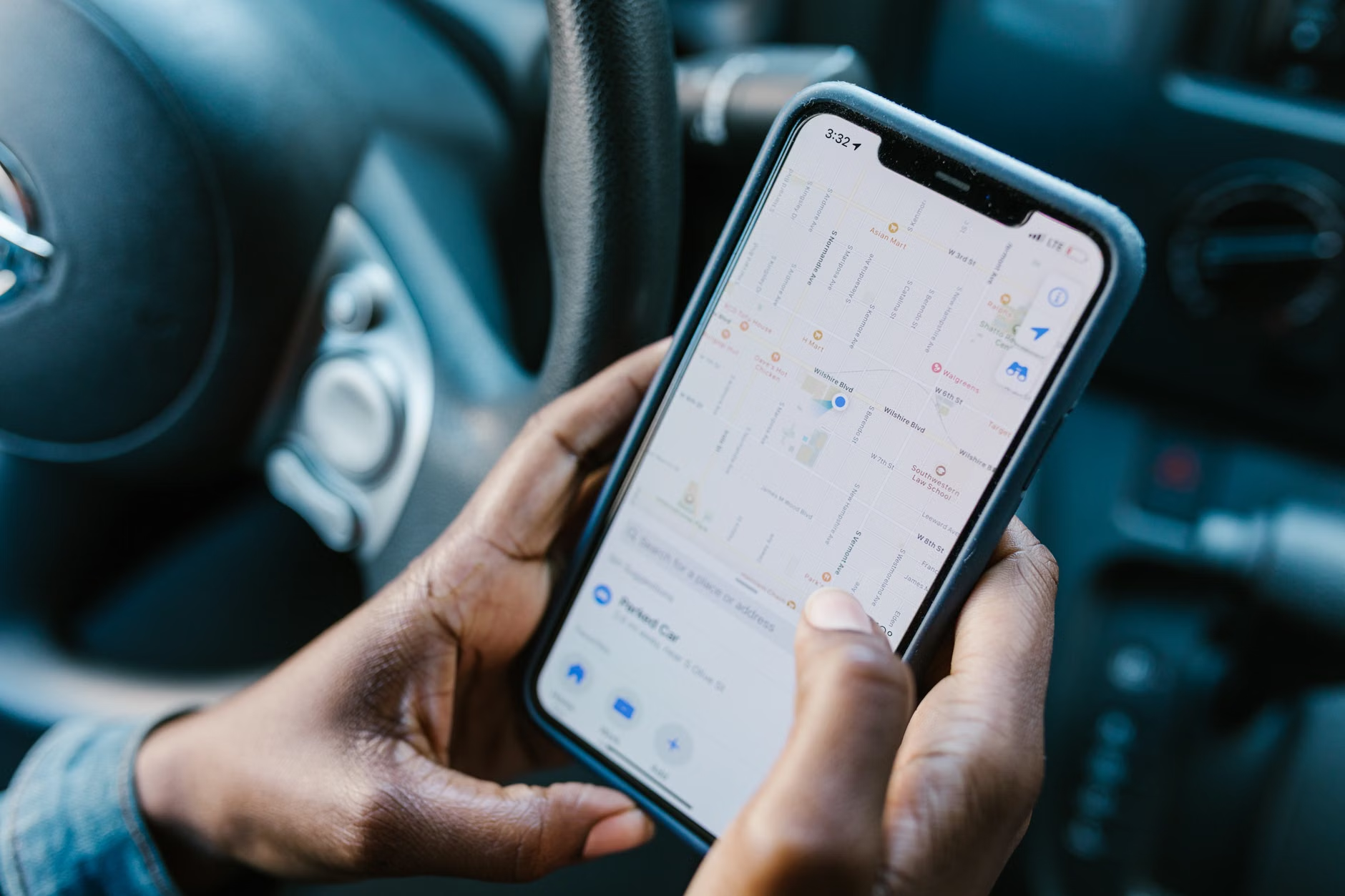
Step-by-Step: Preparing Your Maps Before Departure
The most common mistake travelers make is waiting until they arrive at their destination to download maps. This requires a stable, fast internet connection that you may not have at the airport or hotel. Follow this protocol to ensure readiness.
1. The Pre-Trip Download
Perform these steps at least 48 hours before your flight:
- Connect to your home Wi-Fi network.
- Open your chosen app and search for the city or region you are visiting.
- Locate the “Download” or “Save Map” button.
- Ensure the map covers not just the city center, but also the outskirts where your accommodation might be located.
2. The “Point of Interest” Strategy
Before you leave, save the locations of your accommodation, the nearest pharmacy, the train station, and the local embassy or consulate. By “starring” or “pinning” these locations, they will appear on your map even when you are offline, providing instant reference points if you feel disoriented.
3. Verifying Storage Space
High-resolution maps can take up significant storage. If you are planning a multi-city trip, check your phone’s storage settings. If you are running low on space, delete old apps or photos you no longer need before downloading your travel maps.
For the senior traveler, navigation is not just about the shortest route; it is about the most accessible route. Digital maps can be customized to support your physical needs.
Prioritizing Accessibility
When searching for a route, look for settings that allow you to “avoid stairs” or “prioritize flat terrain.” While these features are not available in every city, Google Maps has increasingly integrated “Wheelchair Accessible” route options. Even if you do not use a wheelchair, these routes are often the best choice for travelers who prefer ramps over steep staircases or who have limited stamina.
The “Rest Stop” Rule
Use your map to identify public parks or plazas along your route. When planning your daily itinerary, do not plot a straight line from point A to point B. Instead, identify one “recovery point” every 45 to 60 minutes. This could be a cafe, a museum with seating, or a public square. Viewing these as “navigation landmarks” helps you maintain a sustainable pace throughout the day.

Managing Common Technical Challenges
Even the best technology can encounter issues. Understanding how to troubleshoot common problems will prevent frustration.
GPS Drift
Sometimes, your digital marker may jump around or show you on the wrong street. This is called “GPS drift,” often caused by tall buildings blocking the satellite signal. If this happens, try these steps:
- Stand in an open area, away from tall structures or dense trees.
- Calibrate your compass by moving your phone in a “figure-eight” motion.
- Look for physical landmarks—such as a specific church, bridge, or monument—and compare them to the icons on your map to re-orient yourself.
The “Digital-Physical” Hybrid Approach
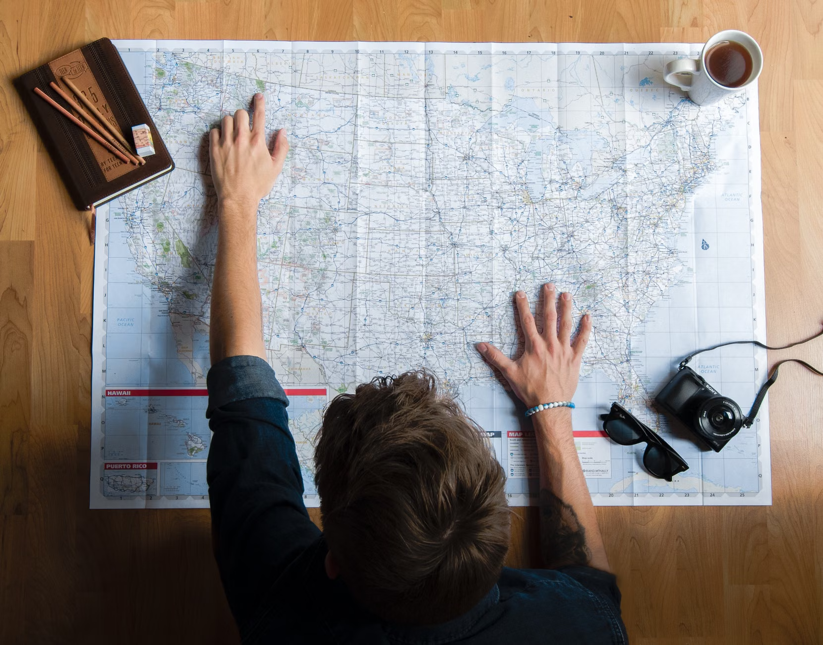
Technology should supplement, not replace, your situational awareness. Always carry a small, physical paper map of the city or a card from your hotel with its address written in the local language. If your phone battery dies or the screen becomes difficult to read in bright sunlight, these low-tech tools serve as an essential safety net.
Strategic Insights for the Independent Traveler
Beyond the basics, there are subtle ways to use digital maps to enhance your travel experience. One often-overlooked variable is the “Local Time” factor. If you are visiting a city where the language is different, download the “Google Translate” language pack for that region. When you tap on a location in your offline map, you can often see the local name in the native script, which is helpful if you need to ask a local for directions by showing them your screen.
Additionally, consider the “Time of Day” variable. Some mapping apps allow you to see transit schedules. If you are traveling during rush hour, expect crowded trains and buses. Use your map to identify alternative routes or plan your excursions during mid-morning or mid-afternoon, when public transport is typically less congested, making boarding and finding a seat much easier.
Conclusion: Empowerment Through Preparation
Mastering offline maps is an investment in your travel freedom. By removing the stress of navigation and ensuring you have reliable information at your fingertips, you can focus on the joy of discovery rather than the anxiety of getting lost. Start by downloading a map of your own city or a nearby town and taking a practice walk. Once you see how effectively these tools function, you will likely find that they become a permanent, indispensable part of your travel toolkit. Remember, the goal is not to be tethered to a screen, but to use the screen to grant yourself the confidence to explore the world on your own terms.
Frequently Asked Questions
1. Do I need a GPS signal for offline maps to work?
You do not need a cellular data or Wi-Fi signal, but you do need the GPS chip in your phone to “see” the sky. GPS works by communicating with satellites, which does not require a mobile network. As long as you have a clear view of the sky, your phone will locate you on the map.
2. How much storage space do offline maps typically require?
This varies significantly. A single city map might take up 50MB to 150MB. A large region or an entire country could require several hundred megabytes or even a few gigabytes. It is best to download only the specific areas you plan to visit to save space on your device.
Yes, most major mapping apps, including Google Maps, support offline turn-by-turn navigation for driving and walking. However, be aware that live traffic updates and automatic re-routing if you miss a turn may not work as accurately as they do when you are connected to the internet.
Official guidance on digital safety and travel planning can be found through resources such as the USA.gov Travel Portal or your local government’s foreign travel advisory websites, which often provide tips for staying connected and safe abroad.