- Learning basic cartography enhances spatial memory and cognitive flexibility by requiring the brain to translate 3D environments into 2D representations.
- Mastering map-reading skills significantly increases travel confidence, allowing for safer navigation and more informed decisions regarding mobility and accessibility.
- Cartography is a low-cost, accessible hobby that bridges the gap between traditional paper-based skills and modern digital navigation technology.
Cartography—the art and science of map-making—is often perceived as a specialized profession reserved for geographers or urban planners. However, at its core, cartography is a fundamental human skill that involves observing, interpreting, and documenting our surroundings. For adults aged 60 to 80, engaging with the principles of map-making is not merely an academic exercise; it is a powerful cognitive workout that sharpens spatial reasoning, improves memory, and transforms the way you experience travel and daily life.
The Cognitive Benefits of Spatial Mapping
As we age, our brains rely on “spatial cognition”—the ability to understand the relationship between objects, ourselves, and our environment. Cartography is the ultimate practice for this cognitive function. When you sit down to sketch a map of your neighborhood or analyze an intricate topographic map, you are engaging in a process called “spatial encoding.”
Unlike passive activities, drawing a map requires you to actively recall landmarks, estimate distances, and understand directional relationships. Research in cognitive neuroscience suggests that these tasks stimulate the hippocampus, the region of the brain responsible for navigation and memory. By converting your physical surroundings into a bird’s-eye view, you force your brain to switch perspectives, which strengthens neural pathways associated with flexible thinking.
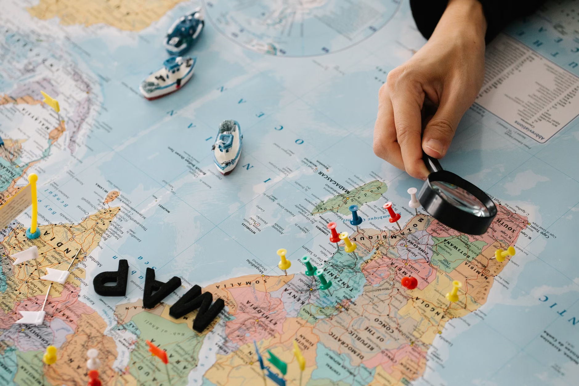
Many of us have become overly reliant on GPS-based smartphone apps. While these tools are convenient, they encourage “passive navigation,” where the brain follows instructions rather than building a mental map. Learning basic cartography reverses this trend. It encourages you to build a “mental model” of your environment. When you understand how a map is constructed—how scale, symbols, and topography work—you become less dependent on a digital signal and more confident in your ability to navigate independently.
Getting Started: The Fundamentals of Map Literacy
You do not need an expensive degree or professional software to begin. The best way to start is by understanding the “language” of maps. This includes three primary components: Scale, Legend, and Orientation.
| Component | Definition | Practical Application |
|---|---|---|
| Scale | The ratio of a distance on the map to the corresponding distance on the ground. | Helps you judge walking time and effort before choosing a route. |
| Legend (Key) | The guide that explains what symbols represent (e.g., paths, water, inclines). | Allows for quick identification of accessible vs. challenging terrain. |
| Orientation | The relationship of the map to true North. | Ensures you are moving in the intended direction, preventing disorientation. |
Common Mistake: A frequent error for beginners is ignoring the “contour lines” on topographic maps. These lines indicate elevation. If you are planning a walk, failing to notice lines that are packed closely together can mean walking into a steep, strenuous incline that you were not prepared for. Always check the density of these lines to assess the physical demand of your route.
Applying Cartography to Senior-Friendly Travel
One of the most practical applications of cartography is in travel planning. When visiting a new city, a standard tourist map is often insufficient because it does not highlight accessibility. By learning to create your own “annotated maps,” you can prioritize your specific needs.
Step-by-Step: Creating a Personal Accessibility Map
- Base Map: Print or download a simple street map of your destination.
- Identify Priorities: Mark locations that are essential for your comfort, such as accessible public toilets, benches, or shaded rest areas.
- Route Assessment: Use a tool like Google Maps (using the “Terrain” view) to identify hilly areas. Cross-reference this with your walking capacity.
- The “Safety Buffer”: Add a 20% time buffer to any route based on your map study. If the map suggests a 15-minute walk, assume 20 minutes to account for slower pacing or unexpected obstacles.
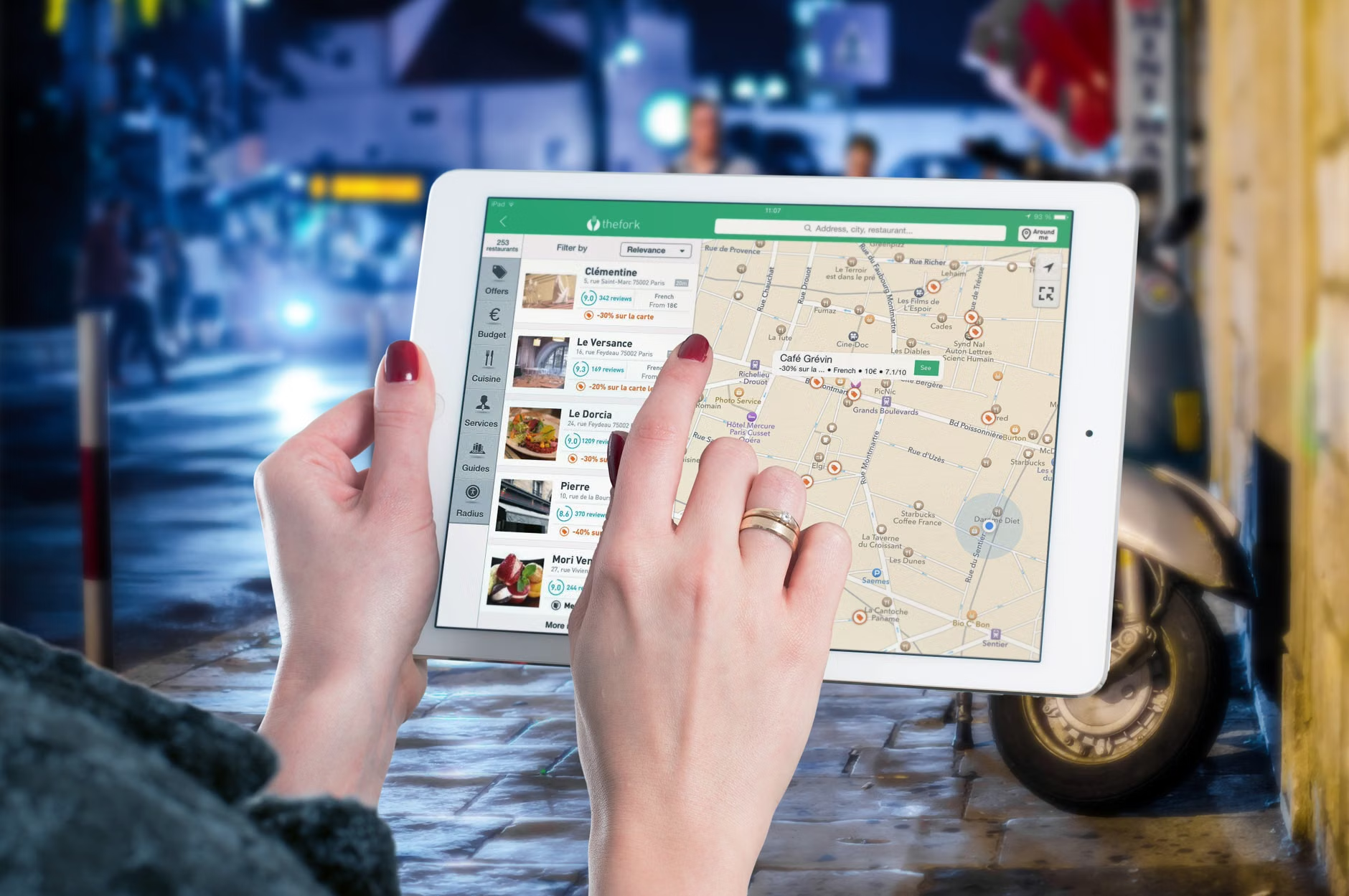
This approach moves you from being a “tourist” to being an “informed traveler.” By mapping out your day, you reduce the anxiety of the unknown and ensure your travel experience remains within your stamina limits.
The Digital vs. Analog Debate
Should you use paper or digital? The answer depends on your goal. If you are training your brain for cognitive health, analog (paper) mapping is superior. The physical act of drawing, measuring, and manipulating paper maps requires greater fine motor skills and sustained focus. If your goal is safety and real-time navigation during a trip, a hybrid approach is best.
Use digital tools to gather data (checking for closures, elevation, or public transport changes), but keep a simplified paper reference with you. Digital devices can run out of battery or lose signal; your mental map and a printed backup never will.
Cartography as a Creative Outlet
Beyond the functional aspects, cartography is a deeply creative hobby. Many people find joy in “mental mapping”—the process of sketching maps of places they have visited throughout their lives. This exercise, often used in reminiscence therapy, helps organize life stories and provides a tangible record of personal history.
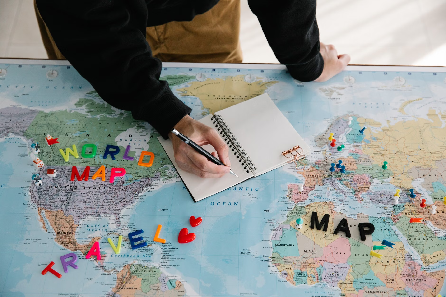
You might start by drawing a “Map of My Childhood Street.” This requires you to reach back into your long-term memory to retrieve spatial information. It is a wonderful way to connect with grandchildren, showing them how the world looked in the past compared to the present.
Overcoming Technical Hurdles
If you feel intimidated by modern mapping software, start small. There is no need to learn complex Geographic Information Systems (GIS). Start with free, user-friendly tools like Google Earth, which allows you to explore the world in 3D. It provides a bridge between the abstract map and the real-world view.
If you are frustrated by digital interfaces, return to basics: a compass, a ruler, and a large-scale local map. Practicing the manual calculation of scale—for example, measuring 5 centimeters on a map where 1cm equals 1 kilometer—is an excellent exercise in arithmetic and spatial logic.
Insights for the Long-Term Practitioner
As you advance, look for “overlooked variables” in your mapping. For example, consider the time of day. A path that is perfectly accessible at 10:00 AM may become difficult at 2:00 PM due to direct sun exposure or increased crowd density. A truly skilled cartographer considers these environmental factors as part of the map’s utility. Always factor in your own “energy budget”—the total amount of physical exertion you have available for the day—and ensure your mapped routes do not exceed 70% of that capacity to allow for a safety margin.
Furthermore, do not ignore the power of feedback. When you return from a walk, compare your original map with your actual experience. Did you miscalculate a slope? Was a shortcut blocked by construction? Correcting your own maps is where the deepest learning occurs. It turns every outing into a small research project.
A Practical Path Forward
Learning cartography is a journey that rewards curiosity. Start this week by creating a detailed map of a familiar area—your local park or your own neighborhood. Focus on the details that matter to you: the location of the best benches, the paths with the most shade, or the quietest routes. By doing this, you are not just drawing lines on paper; you are asserting control over your environment and keeping your mind agile.
Remember that the goal is not perfection. The goal is the process of observation, analysis, and recording. Whether you are using a pencil on a notepad or exploring satellite imagery on a tablet, you are engaging in a timeless practice that honors the human need to understand the world around us.
Frequently Asked Questions
- Is cartography too difficult to learn without a background in geography?
Not at all. Basic cartography is based on simple geometry and observation. You can start by learning to read a legend and understanding scale, which are skills anyone can master with practice. - What is the best way to start if I have limited mobility?
Focus on “Desktop Cartography.” Use online tools like Google Earth to explore global locations from your home. You can create detailed itineraries for “armchair travel” or plan accessible routes for future trips, which is just as cognitively stimulating as physical mapping. - Are there specific tools I should buy?
Start with basic supplies: a good quality ruler, a compass, a few colored pencils for marking, and a local paper map. There is no need for specialized software until you are comfortable with the basics.
For more information on navigating your environment and maintaining cognitive health, you may consult resources from the World Health Organization regarding healthy aging and lifestyle habits.