- Cartography acts as a “cognitive gym,” strengthening spatial memory, pattern recognition, and logical deduction through the interpretation of complex visual data.
- Starting with basic map-reading and progressing to hand-drawing local trails or historical routes provides a structured, low-cost hobby that improves real-world navigation.
- Learning to create maps fosters a deeper connection to your local environment, turning routine walks into opportunities for sensory engagement and historical discovery.
The Cognitive Landscape: Why Cartography Matters for the Mind
In our digital age, we have become accustomed to the “blue dot” on our smartphones telling us exactly where to go. While convenient, this reliance on passive navigation bypasses the brain’s natural ability to construct mental maps. Cartography—the art and science of map-making—requires us to re-engage with our environment. For adults aged 60 to 80, this practice is more than a creative hobby; it is a profound cognitive exercise that demands spatial reasoning, mathematical precision, and artistic interpretation.
When you sit down to interpret or draw a map, you are not simply looking at lines on paper. You are translating three-dimensional reality into a two-dimensional representation. This process forces the brain to juggle multiple variables: scale, orientation, perspective, and symbolic meaning. Research into spatial cognition suggests that active navigation and map study can help maintain the integrity of the hippocampus—the area of the brain responsible for memory and spatial orientation.
Unlike passive activities, cartography requires “active engagement.” You must decide what to include (the signal) and what to exclude (the noise). This selective process strengthens executive function, the set of mental skills that include working memory, flexible thinking, and self-control. Whether you are charting the history of your neighborhood or planning a walking route that avoids steep inclines, you are training your brain to organize the world in a meaningful, logical way.
Understanding the Basics: The Language of Maps
Before you begin creating your own maps, it is essential to understand the fundamental components that make a map readable and accurate. Every map, regardless of its complexity, relies on four core elements: scale, projection, symbols, and orientation.
1. The Concept of Scale
Scale represents the ratio between the distance on the map and the distance in the real world. A common mistake beginners make is failing to define this ratio early. If you draw a map of your local park, you might decide that 1 centimeter on your paper equals 10 meters in the park. Consistency is the key to accuracy. Without a clearly defined scale, a map becomes merely a sketch rather than a functional tool.
2. Symbolic Representation
Maps use symbols to represent features that cannot be drawn to scale. For example, a small square might represent a bench, while a blue line indicates a stream. The effectiveness of your map depends on your ability to create a consistent “legend” or key. When you create your own symbols, ensure they are intuitive. A good test is to show your map to a family member or friend; if they can identify the features without your explanation, your symbols are successful.
3. Orientation and Grids
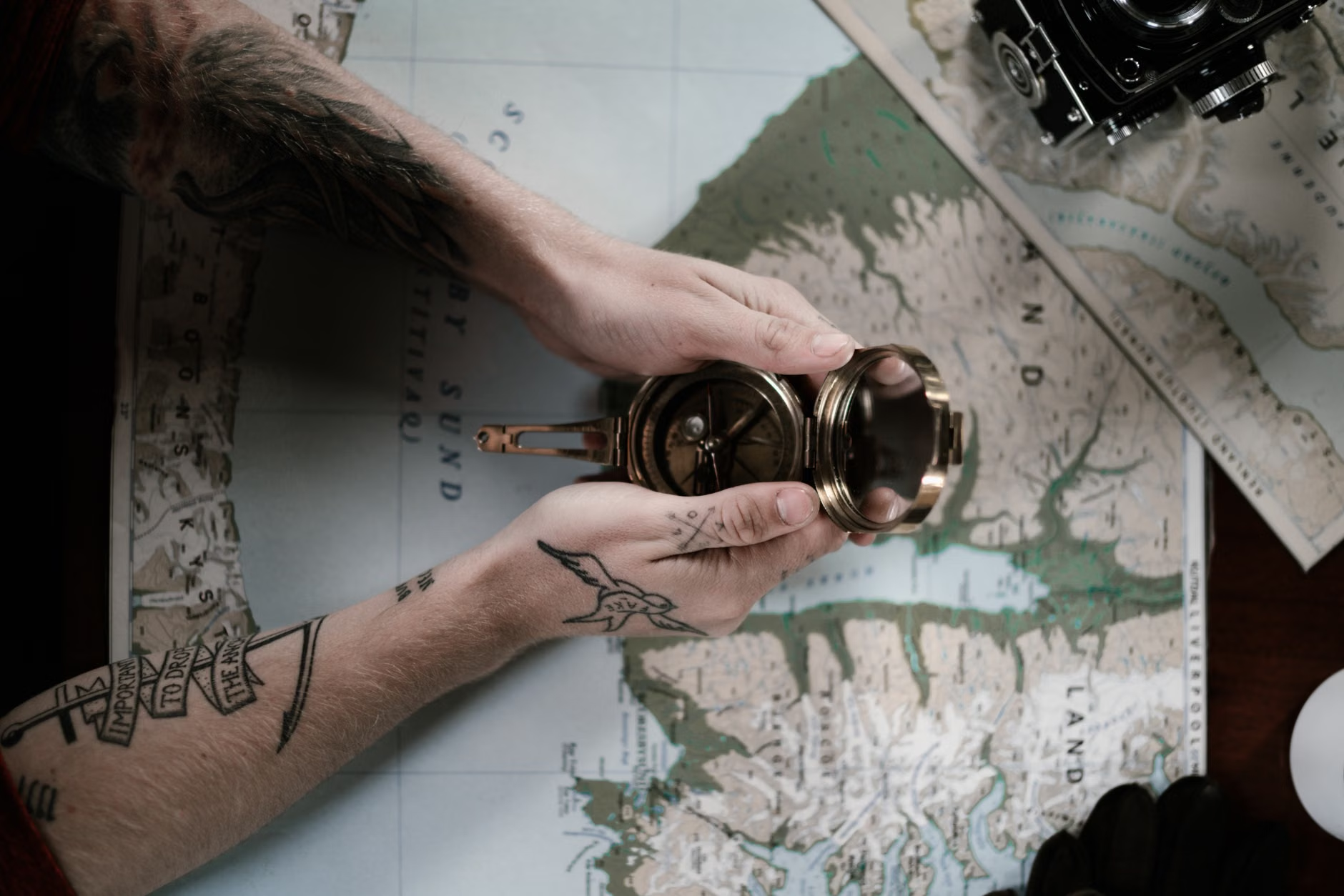
Traditional maps are oriented with North at the top. However, when mapping a local route, you may find that aligning the map to the direction of your travel is more practical. Understanding how to use a compass—or even the position of the sun—to orient your map is a vital skill that connects your paper representation to the physical environment.
| Tool | Primary Use | Skill Level Required |
|---|---|---|
| Drafting Compass | Drawing precise circles and arcs | Intermediate |
| Architect’s Scale Ruler | Maintaining accurate proportions | Beginner |
| Fine-tip Ink Pens | Defining boundaries and symbols | Beginner |
| Topographic Reference | Understanding elevation and terrain | Advanced |
The table above highlights that you do not need expensive technology to start. A simple ruler and a set of pens are sufficient for your first project. As you gain confidence, you can incorporate more advanced tools like drafting compasses to improve the professional appearance of your work.
Practical Steps to Your First Mapping Project
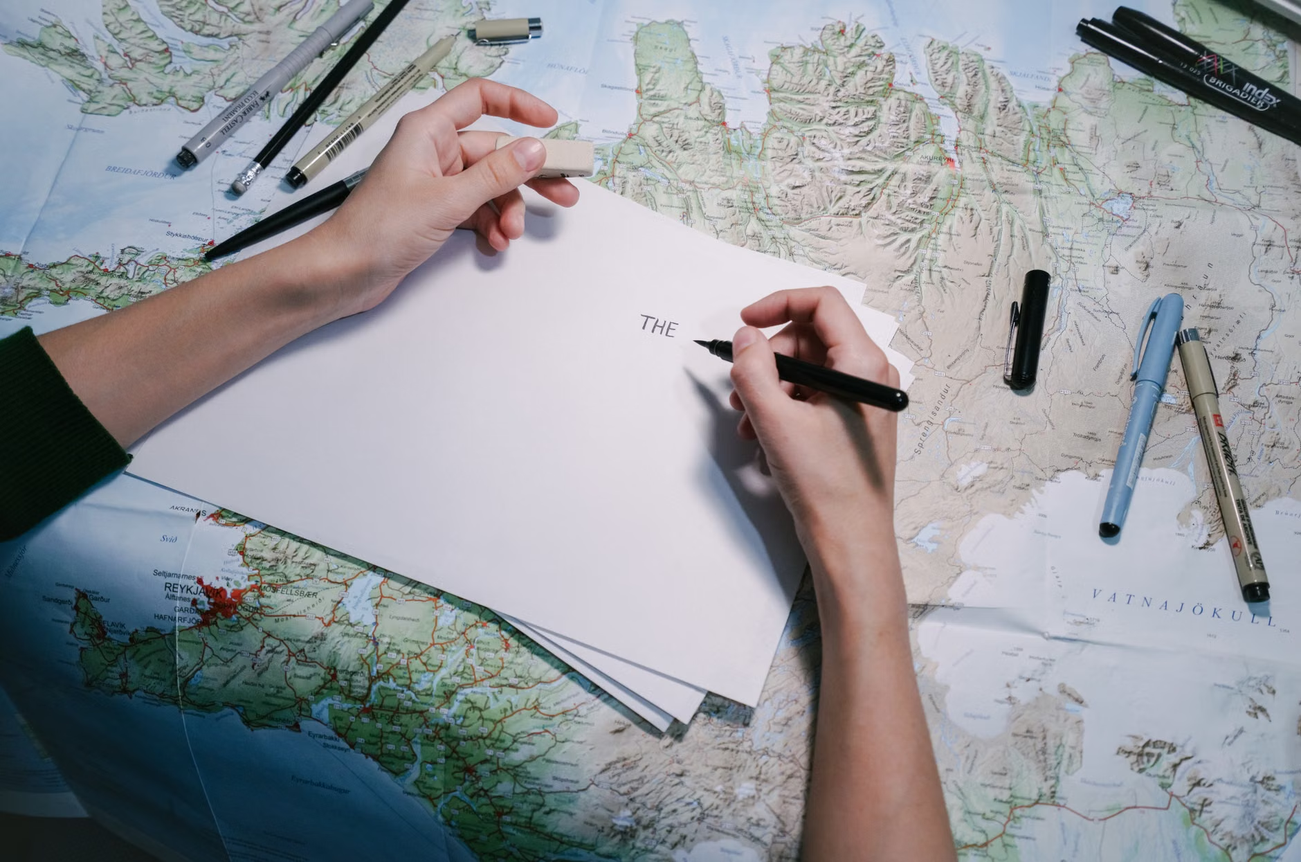
Do not feel pressured to map a region or a city. Start small. A “micro-map” of your home garden, a local library, or a favorite walking trail is the perfect entry point. Follow these steps to ensure a structured and rewarding experience:
- Field Observation: Spend time in your chosen location without drawing anything. Note the landmarks, the slope of the ground, and the sensory details (where is the shade? where is the wind strongest?).
- Drafting the Skeleton: Use a pencil to sketch the primary boundaries. Start with the “fixed points”—the permanent structures that define the space.
- Refining Details: Once the skeleton is established, add your symbols. Focus on accessibility features: mark where the benches are, where the path is paved versus gravel, and where there are stairs versus ramps.
- The Legend: Create a box on the corner of your page that defines every symbol you have used. This is where your map transitions from a personal drawing to a usable reference.
A note on safety: If you are mapping a trail for mobility purposes, always include notes on “effort markers.” For example, indicate where the path becomes steep or where the surface is uneven. This makes your map a practical resource for others in your community who may have different mobility needs.
Advanced Considerations: Integrating History and Geography
As you advance, consider adding layers of information to your maps. Cartography is not just about the present; it is a historical record. You might choose to map your street as it looks today compared to how it looked twenty or thirty years ago. This exercise serves as a powerful cognitive activity, requiring you to access long-term memory and synthesize it with current observations.
Another fascinating layer is “sensory mapping.” Instead of mapping physical structures, try mapping the sounds or smells of a neighborhood. Where do you hear birds? Where is the smell of blooming flowers most prominent? By shifting the focus from the visual to the sensory, you are training your brain to pay closer attention to the environment, which is a key component of mindfulness and cognitive health.
Overcoming Common Challenges
One of the most frequent hurdles for beginners is the “clutter effect.” It is tempting to add too much information, which can make the map difficult to read. Remember: A good map is defined as much by what it leaves out as by what it includes. If you are mapping a park, you do not need to draw every individual tree. Focus on the pathways and the landmarks that help a person navigate from point A to point B.
Another common mistake is ignoring the human element. If you have limited mobility, your map should reflect the realities of navigation for someone with similar constraints. Avoid the “tourist map” trap, which ignores terrain difficulty. Instead, prioritize clear paths, rest areas, and accessible facilities. This makes your hobby a service to your local community.
The Social and Emotional Value of Cartography
Mapping does not have to be a solitary endeavor. Sharing your maps with family members—perhaps creating a “family history map” that highlights significant locations from your youth—is an excellent way to bridge generational gaps. It provides a visual anchor for storytelling, allowing you to pass down memories in a tangible, engaging format. When you explain the “why” behind the symbols on your map, you are not just teaching cartography; you are sharing your life experience.
Furthermore, the act of creating something physical in an increasingly digital world provides a sense of accomplishment. There is a distinct satisfaction in seeing a finished, hand-drawn map that you have created from scratch. It is a testament to your patience, your observational skills, and your ability to learn a new, complex craft.
Resources for Further Learning
To deepen your knowledge, look for local cartography clubs or regional library workshops. Many national mapping agencies, such as the United States Geological Survey (USGS) or the Ordnance Survey in the UK, provide excellent resources on how to read and interpret different types of maps. These official resources are excellent for understanding how professional cartographers approach the challenge of representing the world.
Remember that there is no “correct” way to map. Whether you prefer the precision of a technical drawing or the artistic flair of an illustrated guide, the goal is the cognitive engagement you experience during the process. Start with a simple sketch today, and observe how your perception of your surroundings begins to shift.
Conclusion
Cartography is an accessible, intellectually stimulating hobby that fits perfectly into the lives of active adults. By engaging with the physical layout of our world, we keep our minds sharp, our observation skills honed, and our connection to our environment vibrant. Start with a small, manageable project, prioritize clarity in your symbols, and enjoy the process of turning your surroundings into a personal masterpiece. The map you create today will not only be a record of your environment but a reflection of your own unique perspective on the world.
Frequently Asked Questions
1. Do I need to be good at drawing to learn cartography?
Absolutely not. Cartography is about logic, measurement, and representation, not artistic talent. If you can draw a straight line with a ruler and place symbols on a page, you have all the skills necessary to create highly effective and useful maps.
2. Is it better to start with digital tools or paper?
For the cognitive benefits discussed, paper is superior. The physical act of drawing, measuring, and correcting by hand engages different neural pathways than clicking a mouse or tapping a screen. Start with paper to build your foundational understanding before considering any digital software.
3. How much time should I dedicate to a mapping project?
There is no set requirement. Even 30 minutes of focused observation and drafting once or twice a week is enough to reap the cognitive benefits. The key is consistency and the “active” nature of the work—keep your brain engaged in the process of translating the real world into a visual representation.
Note: This article is intended for informational and recreational purposes only. It does not provide medical or psychological advice. If you are experiencing memory concerns, please consult with your healthcare provider for a professional evaluation.