- Cognitive Engagement: Unlike GPS, which provides turn-by-turn instructions, reading a physical map requires active spatial reasoning, which stimulates the hippocampus and supports long-term cognitive health.
- Travel Independence: Developing map-reading skills ensures you are never reliant on battery-dependent devices, providing a critical safety net during travel or in areas with poor cellular reception.
- Strategic Planning: Learning to interpret contour lines, scale, and symbols allows for better physical pacing and route planning based on your personal stamina and mobility requirements.
In an era dominated by satellite-based GPS and smartphone navigation, the humble paper map is often viewed as a relic of the past. However, for adults aged 60 to 80, map reading is far more than a backup plan for when the battery dies. It is a sophisticated cognitive exercise that bridges the gap between physical travel and mental acuity.
When you rely solely on a digital device, your brain operates in a passive mode—you are essentially “following orders” from an algorithm. Conversely, reading a map requires you to construct a mental model of your environment, calculate distances, and anticipate terrain changes. This process engages the brain’s spatial processing centers, helping to maintain neuroplasticity and spatial memory, which are vital for independent living.
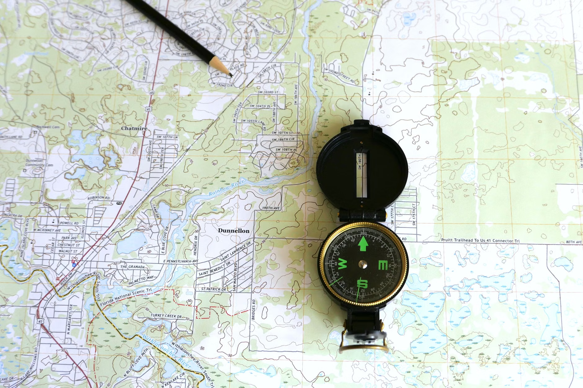
The Cognitive Mechanics of Map Reading
Spatial cognition is the ability to understand and remember the spatial relations among objects in the environment. Research suggests that as we age, maintaining these skills is directly linked to executive function and the ability to navigate complex environments safely.
How Map Reading Stimulates the Brain
When you look at a map, your brain performs a series of complex tasks simultaneously:
- Visualization: You must translate a two-dimensional representation into a three-dimensional mental image of the landscape.
- Distance Estimation: You calculate scale to determine how long a journey will take, factoring in your own physical stamina.
- Orientation: You align the map with your current physical position, requiring a constant update of your heading relative to landmarks.
These activities activate the hippocampus—the area of the brain responsible for memory and navigation. Studies in geriatric health have consistently shown that tasks requiring active engagement with one’s surroundings, rather than passive consumption of information, are more effective at preserving cognitive function.
Transitioning from a digital interface to a physical map requires a change in mindset. While a smartphone tells you “turn left in 200 meters,” a map asks you to observe the world around you to confirm your location.
To become proficient, you need to understand three core elements of any map:
| Element | Function | Why it matters for seniors |
|---|---|---|
| Scale | The ratio of map distance to real-world distance. | Helps you estimate walking time to ensure you don’t exceed your physical stamina. |
| Contour Lines | Lines representing elevation changes. | Allows you to identify steep slopes that might impact mobility or balance. |
| Legend/Key | Symbols for landmarks, water, and roads. | Helps you identify accessible routes, such as paved paths versus rough trails. |
For example, if you are planning a city walk, a map with contour lines allows you to choose a route that avoids steep inclines, effectively managing your energy levels throughout the day. This is a level of strategic planning that a standard GPS often overlooks, as it usually prioritizes the “fastest” route rather than the “most accessible” or “most comfortable” one.
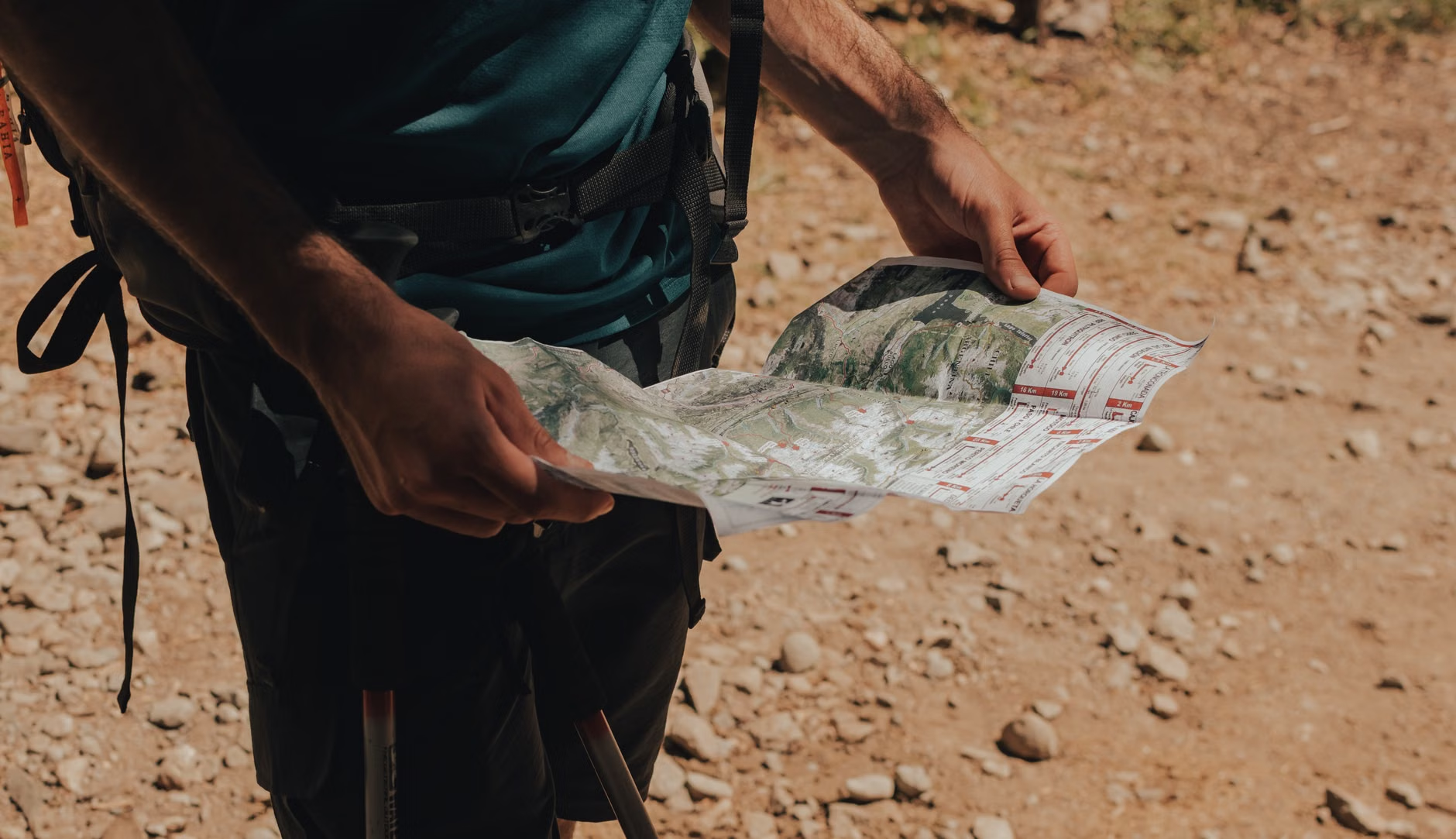
Safety and Independence: The Ultimate Benefit
Relying on technology for navigation introduces the risk of “digital dependency.” If your phone battery fails, the weather impacts reception, or a software update changes the interface, you may find yourself in a vulnerable position. Learning to read a map provides a profound sense of security.
Building a Reliable Safety Net
When traveling, particularly in rural or unfamiliar regions, consider these steps to maintain your independence:
- Carry a physical map: Even a simple printout of the area is better than nothing.
- Identify key landmarks: Before you set off, look at the map and identify three “fail-safe” landmarks (a church, a bridge, or a large hill) that will help you reorient if you get lost.
- Practice in familiar territory: Use your local neighborhood to practice reading a map. Walk a route you know well while checking the map to see how the landmarks align with the symbols.
This preparation is particularly important for those who enjoy independent travel. By understanding the geography of your destination, you reduce the anxiety associated with getting lost, which in turn allows for a more relaxed and enjoyable travel experience.
Integrating Map Reading into Daily Life
You don’t need to be an explorer to benefit from these skills. Integrating map reading into your leisure time can be a rewarding hobby in itself.
Mapping Your Local History
Many older adults find joy in tracing the history of their local area. Using historical maps to see how your town has changed over the last 50 years is a fascinating way to engage with geography. You can overlay current maps with older ones to identify forgotten paths or changes in urban layout.
The Social Aspect
Map reading is a great group activity. Planning a trip or a walking route with friends or family members encourages communication and collaborative decision-making. It transforms a simple walk into a shared project, where everyone contributes to the navigation and discovery process.
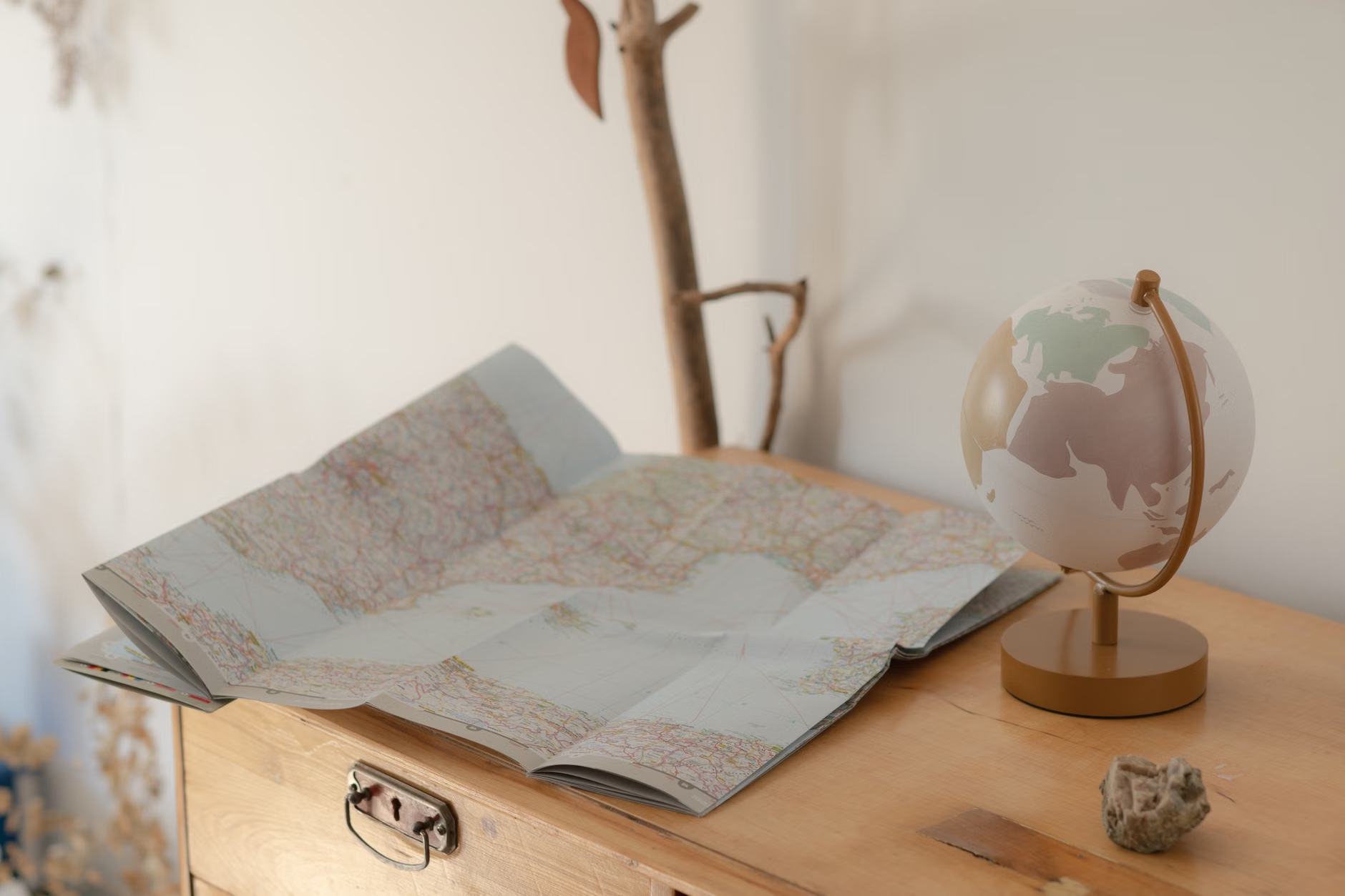
Choosing the Right Tools for Your Needs
When selecting your navigation tools, consider your specific mobility and visual needs. If you have difficulty with fine print, look for large-scale maps designed for tourists or hikers, which often use clearer fonts and high-contrast colors.
Additionally, tools like a high-quality magnifying glass or a digital tablet with a high-resolution map can bridge the gap between traditional and modern navigation. The key is that you are the one making the decisions, not the device.
Deep Dive: Understanding Topography for Mobility
One of the most overlooked aspects of map reading is understanding topography. For those who prioritize mobility, knowing how to interpret contour lines is essential. Contour lines are the thin brown lines on a topographical map. When they are spaced far apart, the terrain is relatively flat. When they are bunched closely together, the terrain is steep.
By learning this simple visual cue, you can assess the difficulty of a trail or a city walk before you even step out the door. This proactive approach prevents the “surprise” of a steep hill that might exceed your planned exertion for the day. Always prioritize routes that align with your current physical condition, and remember that it is perfectly acceptable to choose a longer, flatter route over a shorter, more strenuous one.
A common mistake is assuming that map reading is only for “experts” or “adventurers.” In reality, it is a foundational skill that everyone can master. Another misconception is that you must memorize the entire map. In reality, you only need to understand the immediate area you are traversing and the general direction of your destination.
Do not be discouraged if it feels difficult at first. Like any skill, map reading improves with practice. Start by orienting the map so that North on the map points to North in the real world. Once you have mastered this, identifying your location becomes significantly easier.
The Psychological Advantage of Spatial Awareness
Beyond the physical safety and cognitive benefits, there is a distinct psychological advantage to being aware of your surroundings. When you follow a GPS, you often feel disconnected from the environment. You might arrive at your destination without remembering the path you took. By using a map, you are actively observing the world—noticing the turn-offs, the landscape, and the points of interest.
This “mindful navigation” encourages a deeper appreciation of the places you visit. It turns a commute into an exploration and a walk into a journey. For the older adult, this connection to the physical world is a powerful tool for maintaining a sense of agency and engagement with life.
Practical Steps for Your Next Outing
To put this into practice, try this simple exercise on your next trip:
- Preparation: Before leaving home, look at a map of your destination. Identify the starting point, the end point, and one or two intermediate landmarks.
- Execution: During the trip, keep the map accessible. Every 15 minutes, check your position against the map.
- Reflection: Once you arrive, look at the map again to see the route you took. Did it match your expectations?
By repeating this process, you will find that your ability to navigate improves rapidly. You will become more confident in your ability to explore new places, and you will feel more secure in your independence.
Conclusion: Reclaiming Your Internal Compass
Map reading is a valuable tool that offers far more than just directions. It is a way to challenge your brain, ensure your personal safety, and deepen your connection to the world around you. By choosing to step away from the passive reliance on technology and embracing the active process of navigation, you are choosing to invest in your own cognitive health and independence.
Start small, be patient with yourself, and enjoy the process of discovery. Whether you are navigating a new city or a local hiking trail, the skills you develop will serve you well for years to come.
Frequently Asked Questions
1. Is it too late to learn how to read a map if I have relied on GPS for years?
It is never too late. Map reading is a skill based on logic and observation, not age. Start by using physical maps for short, familiar walks to build your confidence before moving on to more complex environments.
2. What is the best type of map for a beginner?
For city travel, a local tourist map is excellent because it highlights landmarks. For outdoor activities, look for “topographical maps” of your local parks, which are specifically designed to show terrain features like hills and valleys.
3. Can I use a digital map in the same way as a paper map?
You can, but it requires discipline. To gain the cognitive benefits, avoid the “turn-by-turn” navigation features. Instead, open the map app, look at the route as a whole, close the phone, and try to navigate using your own observation of the landmarks, only checking the digital map when you are uncertain of your location.
Official resources for further learning:
- Ordnance Survey: Map Reading Guide (Excellent for understanding symbols and contour lines).
- USGS: Understanding Topographic Maps (A foundational guide on how maps represent the earth’s surface).